Photo 1 of 5
Loading...

Loading...

$21per m²
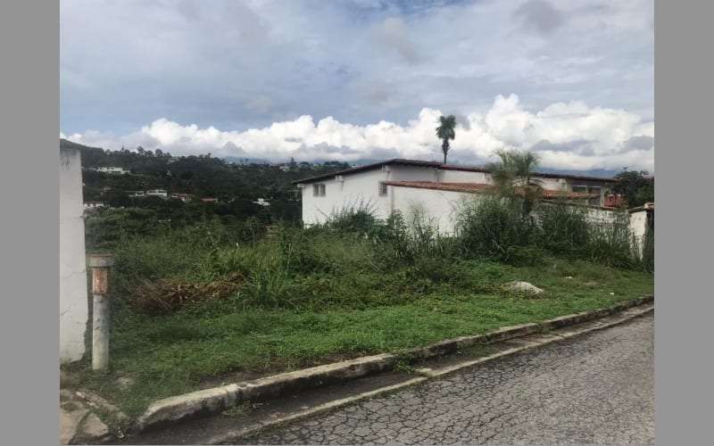
PARCEL IN LA UNION SECTOR. EL HATILLO, ESTADO MIRANDA
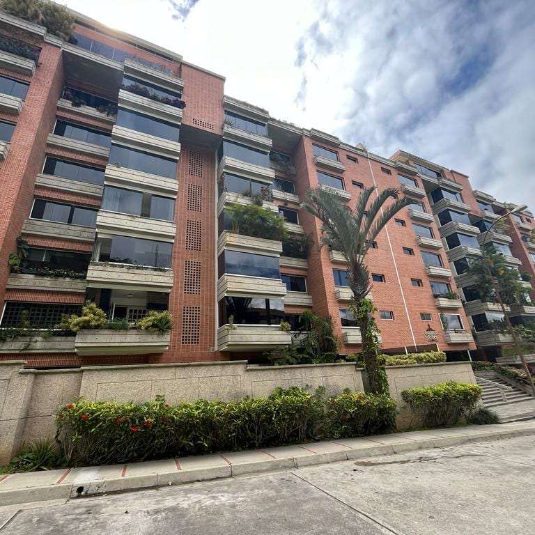
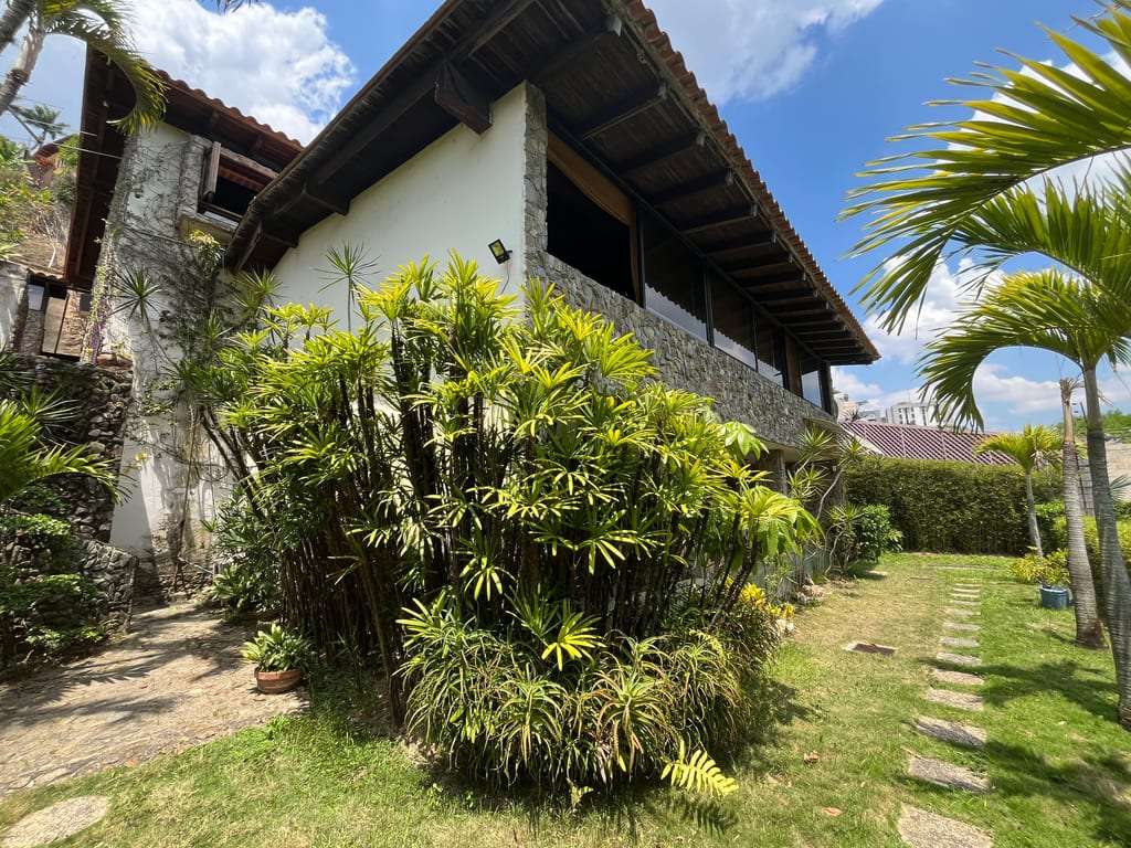
The property consists of a land parcel, located in the sector known as La Loma, urbanization La Unión, Corralito Road, Municipality of El Hatillo. This location is privileged given its proximity to the urbanizations La Lagunita, Lomas de La Lagunita and within the sector of greatest growth in the southeast of the city, which is why it has a wide range of goods and services available to residents, in addition to the local services of the La Unión sector itself.
It has a total area of 14,309.00 M2 Non-usable area: 2,205.55 M2 (Slopes greater than 60%) Usable area: 12,103.45 M2
Regarding the public services in the sector, it has all the necessary ones, such as: aqueduct, sewerage, public lighting, sidewalks, paved roads, electrical energy, urban cleaning, telephones and others. The land lot is located within the limits set by the zoning regulatory plan, which accompanies the Partial Reform of the Zoning Ordinance of the Southeast Sector, published in Municipal Gazette Number Extraordinary 1-5 dated 23-01-1984. According to the aforementioned Zoning Ordinance, the Land Lot is defined as follows:
ENVIRONMENTAL UNIT: "G"
ZONE: AO-3
USE: RESIDENTIAL
On the land, infrastructure and earthmoving works have been carried out, which are detailed below:
Achievement of Urban Variables, includes: geological study, hydrological study, vegetation study and topographic survey.
Soil study
Landscaping project
Earthmoving
Water well 2 lts/seg average, each water pump and its piping
Armed concrete wall with average thickness of 0.50 M, a total of approximately 200 M2 x 0.50 = 100 M3, including reinforcing steel
Walls with tie beams and buttresses and concrete blocks
Preliminary project of a development of between 30 and 33 units of 200 M2 each
La Unión, Caracas, Distrito Capital
Approximate address, the exact one is shared when you contact the lister.